It has been a popular topic in Seoul for the last two days to discuss the sudden expansion of Naver map to North Korea. Although I do not know the exact date of the changes, considerably greater detail has been added for North Korea than was available before. You may remember that for Naver Map, Daum Map and Google Map, North Korea was essentially blank, with the exception of the names of major cities. But this new version displays North and South in the same format and identifies specific buildings, even subway stops, in Pyongyang.
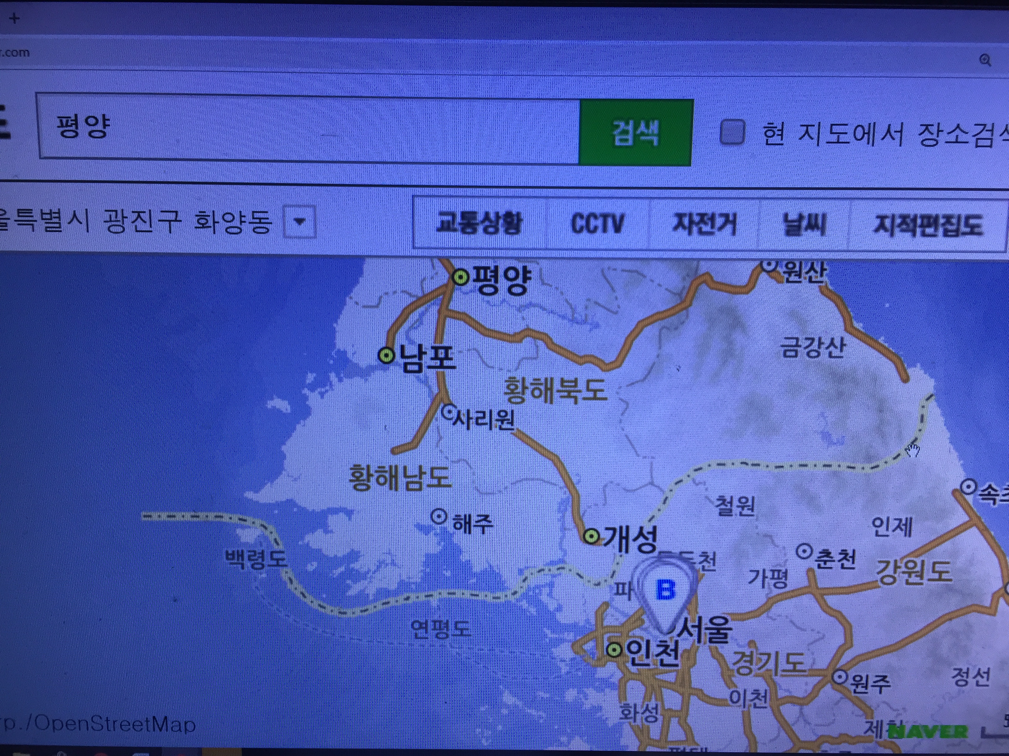
The map for the Korean Peninsula makes no distinction in how roads are shown for the North and for the South. One can easily imagine the roads being connected if you look at this representation.

Here is a map for Pyongyang
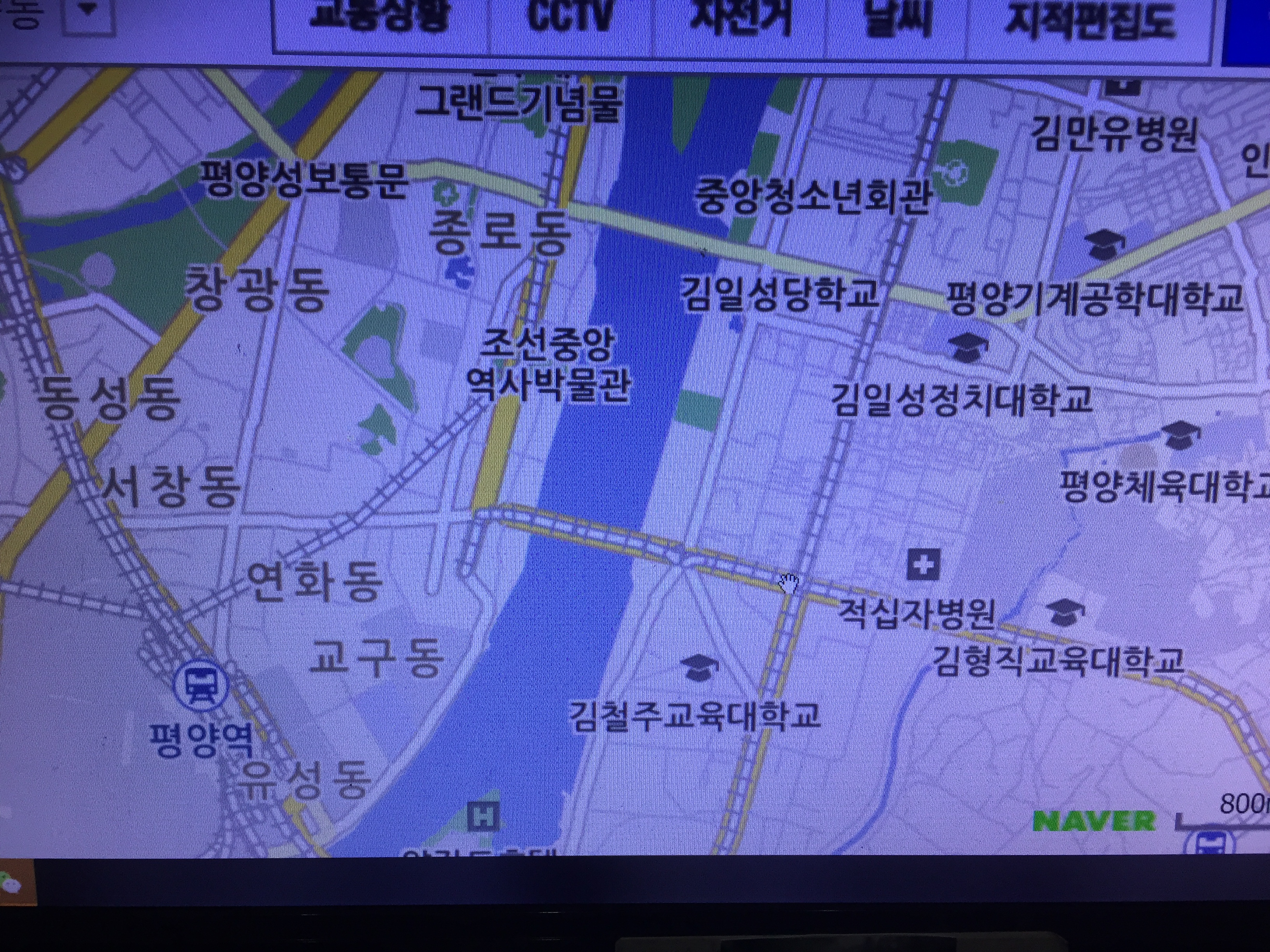
Some detail of downtown Pyongyang, including the locations of universities and Pyongyang Station.